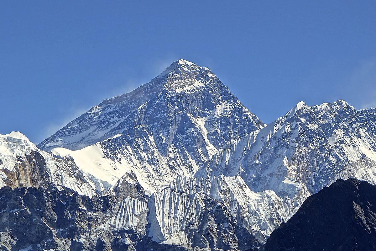
On December 8, 2020, news appeared in several media outlets that the highest point on the planet was even higher than previously thought. We checked whether Everest actually rose by 86 cm.
In most encyclopedias and reference books indicatedthat the height of Everest (Qomolungma) is 8848 m. On December 8, 2020, Russian media reported that the mountain “grew” by almost a meter - these are the results of the latest measurements. This was also discussed in plot "Vesti", and in material "Rossiyskaya Gazeta", and in note "Arguments and facts." According to publications, the expedition to re-measure Everest was connected with the 2015 earthquake - experts feared that the highest point on the planet, on the contrary, had become lower.
The height of the mountain, located on the border of Nepal and China, was estimated at 8848 m in 1954, when such a study was first carried out held Indian specialists. Chinese surveyors first confirmed this result in 1975, and 30 years later presented updated data - 8844.4 m. Nepal until recently did not conduct its own calculations and used Indian data. By information BBC, in 2012, the PRC tried to put pressure on the Nepalese authorities to agree with their assessment of the height. This is what convinced the Nepalese government to take its own measurements.
Moreover, some geologists actually were afraid, that after a powerful earthquake in 2015, Everest could “sag” and become lower. This happened with the peak of the Langtang Himal, which was located near the epicenter. On the other hand, the Himalayas are located at the junction of tectonic plates that do not stop moving. Because of this, the height of Everest and other peaks of the Himalayas could, on the contrary, increase.
The fundamental difference in the approaches of the two countries was whether the size of the snow cap at the top should be taken into account in the height of the mountain. The Chinese authorities stated that they needed to measure the mountain directly, and carried out calculations accordingly in 1975 and 2005. The Nepalese were inclined to believe that the height of the snow cover should not be excluded from the height of Everest. Not long ago, representatives of the PRC agreed from the Nepalese point of view.
Latest measurements passed in two stages. In May 2019, Nepalese surveyors climbed Everest, where they deployed a GPS receiver and ground penetrating radar to measure snow depth. At the same time, teams of their colleagues waited at eight sites overlooking the summit to record its height using modern laser theodolites - instruments used in topographic surveys. The measurements were specially carried out at sunrise, when atmospheric features minimally distort the results. During Chinese leader Xi Jinping's visit to Kathmandu in October of that year, the two countries announced a joint study. This spring, Chinese specialists worked on the northern slope and measured the height of the peak using the Beidou system, an analogue of GPS. December 8, 2020 the authorities of the two countries published a joint statement announcing the agreed result - 8848.86 m.
Head of the Nepalese expedition Himlam Gautam emphasizesthat no estimate is absolutely accurate. There is always a margin of error, and surveyors strive to find the most likely value. Yamin Dan, Gautam's colleague from China, draws attention the fact that the movement of tectonic plates, at the junction of which Everest is located, does not stop. According to the expert, such measurements should be repeated regularly - “theoretically, this should be done every 10-15 years.”

Mostly true
- https://www.nationalgeographic.com/science/2020/12/new-height-of-mount-everest-announced-by-china-and-nepal/
- https://www.bbc.com/news/world-asia-55218443
If you find a spelling or grammatical error, please let us know by highlighting the error text and clicking Ctrl+Enter.